Faroese DSM mapping & visualisation
Faroe Fog Terrain
A mobile-friendly terrain prototype using a 2-metre Faroese digital surface model to turn elevation data into navigable 3D terrain.
FAROE ISLANDS / TERRAIN ATLAS62° N · 07° W
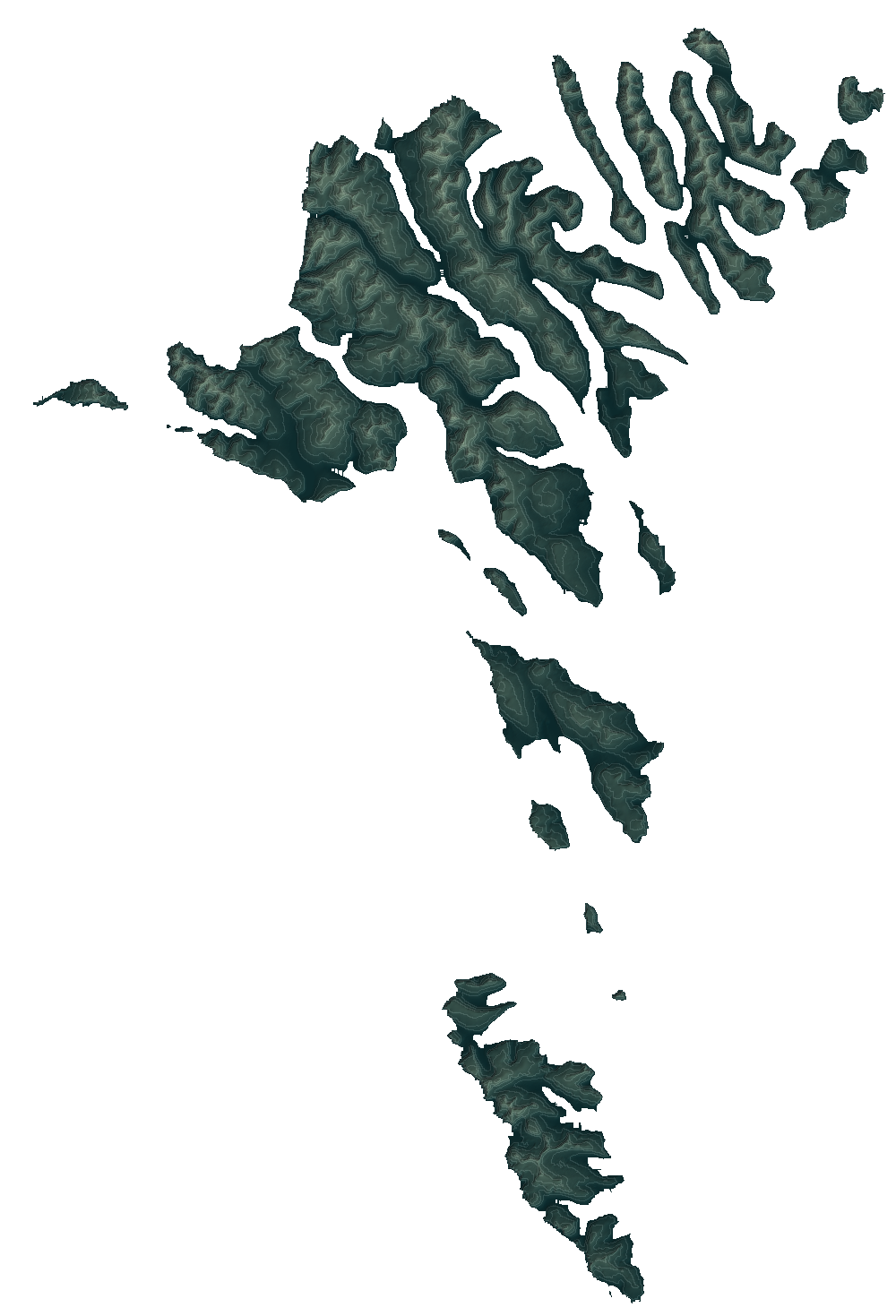
FØROYARThe shape
of home.2015 DSM / 10 m source
North up · Terrain relief
of home.2015 DSM / 10 m source
North up · Terrain relief
Detailed contours · North-up atlas
The work
DSM processing, terrain meshes, tiled data, and a Three.js viewer with orbit mode, phone-sensor mode, camera overlay, and geolocation. The research explores aligning rendered terrain with visible skyline features.
Stage: Research prototype. Not a validated navigation system or a means of seeing through fog.